Urban Settlement Investigation
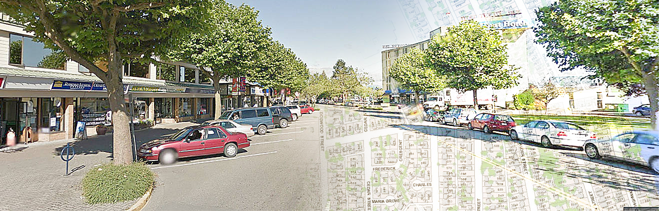
Students spend time visiting one of the local Vancouver Island Cities, creating land-use maps of the town centre and finding patterns in retail settlements and settlement function. Students will use their mapping and observation skills to understand the impact of how towns and cities have developed over time.
We use a range of data collection techniques including field sketches, CBD landsuse mapping, GIS tools digital photos. Students use their field data and digital photos in their followup session to accurately describe the growth of the town or city, the impact on transportation, the people and cultures.
Program Outline
| Urban Settlement Investigations | |
| 8am - 9am | Breakfast |
| 9am - 12 noon | Visit to Nanaimo or Campbell River |
| Students spend time visiting a local city creating landuse maps, observing development and transport patterns |
|
| 12 noon - 1pm | Lunch (provided) |
| 1pm - 4pm | Students visit a local first nations site to learn more about the impact of urban development on first nations people and culture |
| 4pm - 5pm | Free Time |
| 5pm - 6pm | Dinner |
| 6pm - 8pm | Followup Session - Classroom |
| Classroom review with mini-projects based on landuse, urban development, transportation routes and cultural diversification | |
| 8pm - 9pm | Free Time |
| 9pm - 11pm | Campfire & Mug-up |
| 11pm | Bedtime |